Going North
January 10th and 11th, 2005
After visiting Thio, Mom and I decided to head directly to the North.
We decided to drive through the west coast of New Caledonia up to the
northen part of the island. We could have taken the road following
the east coast except that we wanted to do that part with Stéphane.
There was also a small portion of the road that could have been delicate
to drive with our little Twingo, and the road is very narrow (there is
only one lane and you have to follow published schedules so that you
don't cross a vehicule coming the opposite way!) and very slippery after
all the rain that fell in the last couple of days.
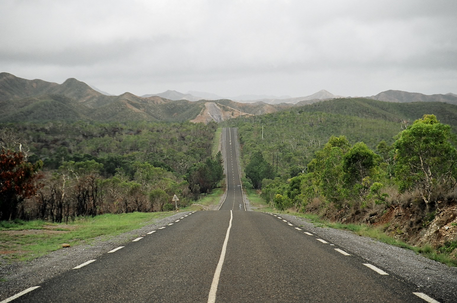
The west coast road is said to be boring. In a sense, I understand why,
as it's 400 to 500 kms of pretty straight flat road. But I found the
landscape to be magical. Some parts of them reminded me a bit of
California, with the fast brown fields where cows are indolently
eating grass. We saw a couple of farmers on horse back too. And because
we left Thio after lunch, we had to drive a bit at night. At one point,
we were on a straight road, and everything around us was pitch black.
The only source of light were the car's head lights. I had this
exhilarating feeling of driving along a road that was traversing an
infinite sea...
All pictures are available either in tar
or zip formats. Also available is a tar
archive of the original pictures,
before being reworked (these are actually the same).
Note that the tarballs
contain all the pictures I took, not just the ones I present
on this page.
Originally, we made a reservation at the "Malabou Beach Hotel".
We were planning on arriving there at around 8pm, maybe 9pm.
Unfortunately, the direction signs in New Caledonia, especially
so remotely in the north, are not exactly the most informative
signs we've ever seen... Some of the signs were lying on the ground,
and we couldn't be sure whether we could trust them or not.
About 30km south of Malabou Beach, we got lost, and wheren't sure
of our way anymore. It was getting very late, and we were starting
to run low on gas, so we decided to backtrack to the nearest town
which was Koumac. A lady at the restaurant where we just had dinner
told us that there was no way we would find the hotel at night, so
we ended up sleeping in a cheap hotel in Koumac instead of the 3 star
bungalow we had reserved.
The next day, we filled the gas tank again, and eventually found
our way first to Malabou, and eventually to "Boat Pass", the
northen-most tip of the main island of New Caledonia. But it was a good
thing we had a full tank of gas, since it turned out that there was no
gas station north of Koumac anyway!
|
|
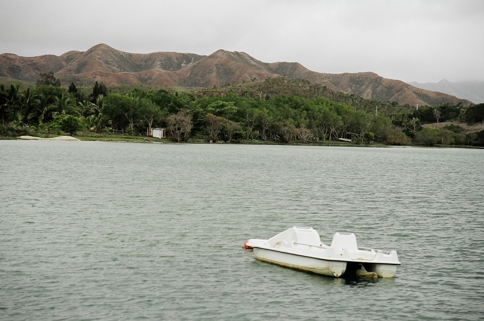
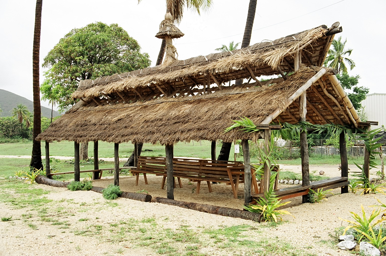
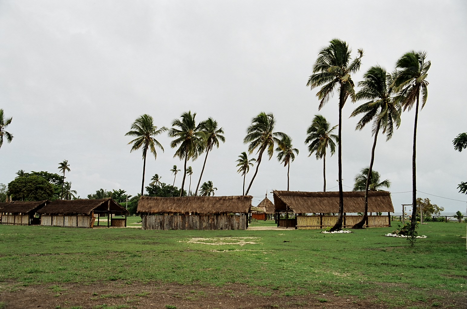
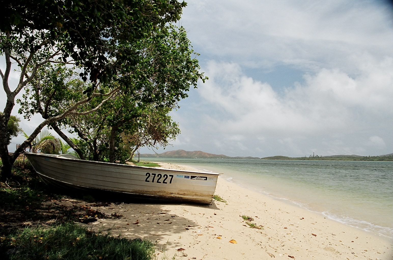
Malabou Beach and surroundings...
|
Poum is a small Kanak village, probably the northern-most one
on the main island. After that, it's only dirt roads linking
the different mines and also leading to "Boat Pass".
The road to Boat Pass is not very easy to find, as you eventually enter
a mini-maze of dirt roads. But some sporadic signs as well as a bit of
intuition helped us find our way.
|
|
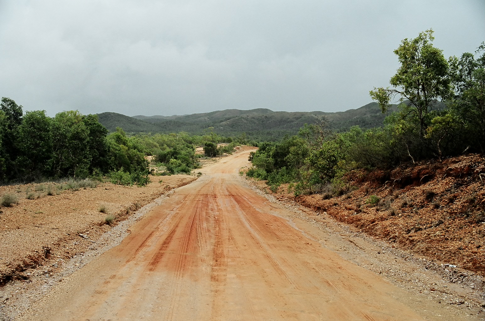
The road started nice and easy...
|
|
|
... But very rapidly did we enter mud-land. Most of the road we drove
on was firm and relatively dry, but we did have to drive through muddy
sections.
|
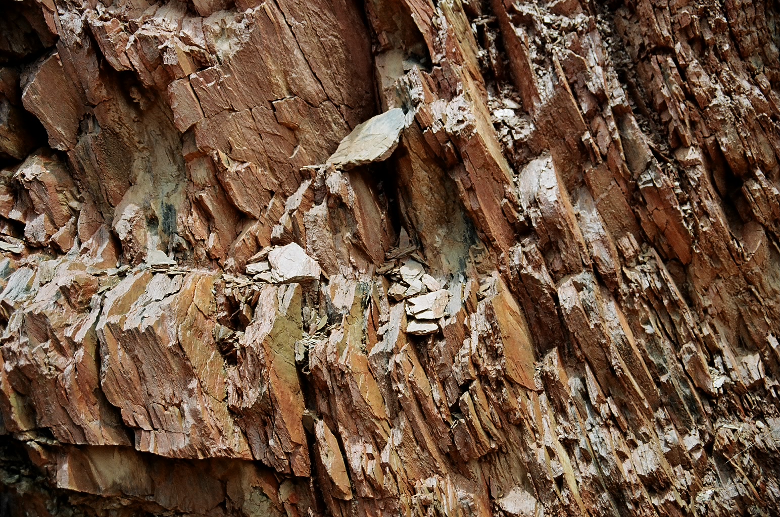
There is nothing special at Boat Pass, except a shelter where we met
a group of young Kanaks who were waiting for a truck to come and drive
them to Koumac, so that they could compete in the Kanak Games.
|
|
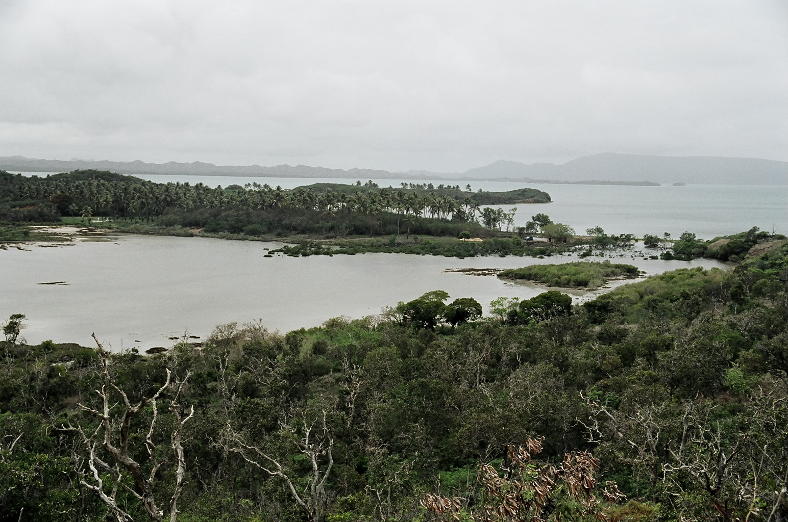
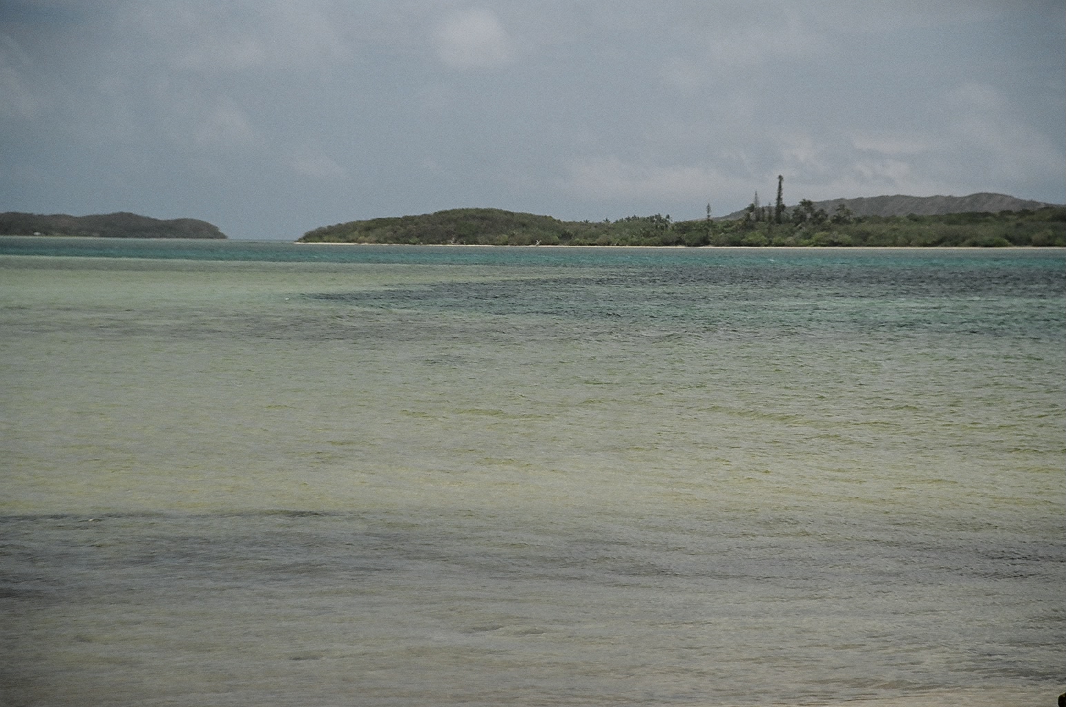
Boat Pass in front of us. We can't go further north without taking a
boat. These islands located north of the mainland are also part of
New Caledonia.
|
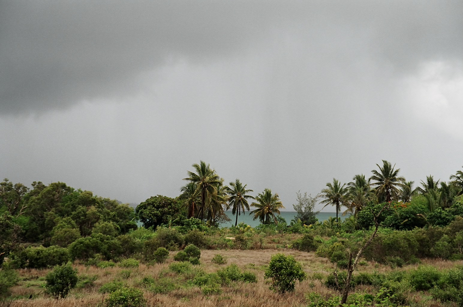
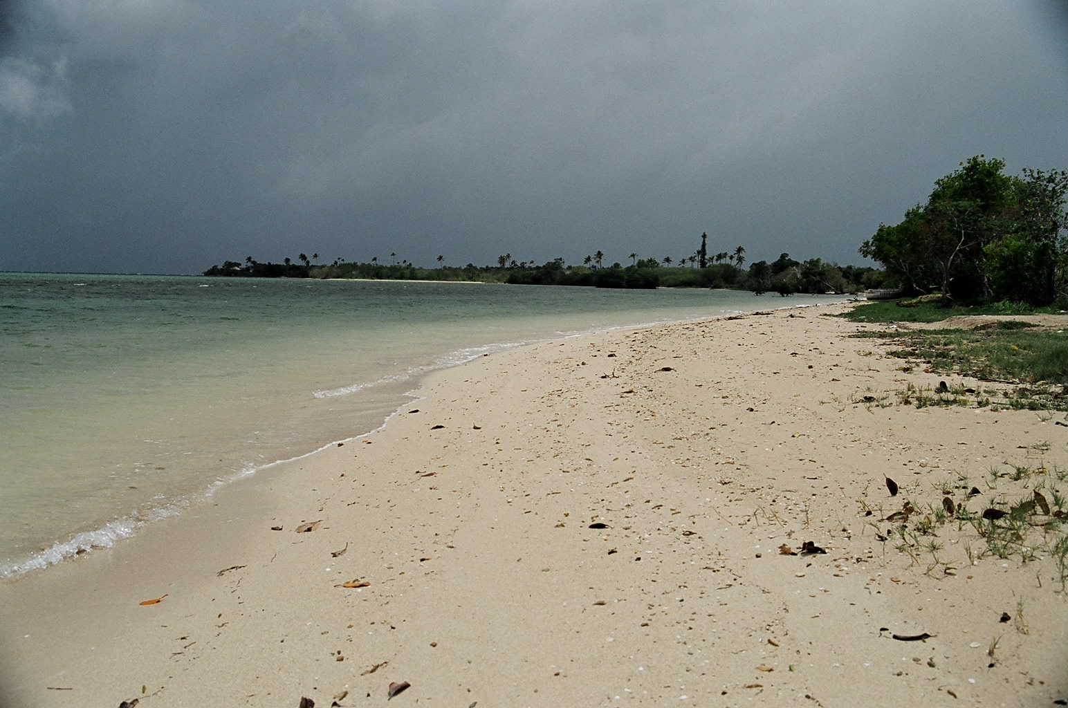
You can see some of the clouds that caused some
heavy tropical rain we had to endure. At one point, I had to open
the window for 30 seconds, just to slam my door closed, and that was
enough to soak my clothes...
|
|
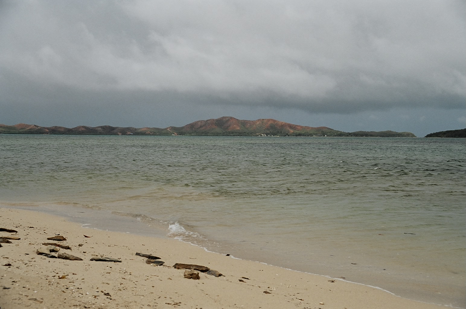
Looking north-east from Boat Pass.
|
http://www.brobecker.org/