Ouvťa
January 17th and 18th, 2005
Ouvťa is one of 3 islands that form "Les Iles Loyautťs". It's the
northern-most one. The island is mostly known for its sandy beaches.
The west coast of the island features 25 km of thin white sandy beaches
facing a turquoise blue lagoon.
I was also fortunate to go scuba diving the second day, and we managed
to see many things I had never seen before, not even in an aquarium. We
saw a manta ray, for instance, about 3 or 4 meters wide, swiming around
us at about 2 meters. Sometimes, we thought we could almost touch it. We
also saw several types of sharks, a tuna (thon dent-de-chien), and
myriads of angel fish, butterfly fish, surgeon fish, clown fish, etc.
I can't say that I was disappointed not to see a turtle, as we had seen
so many things already, and because I briefly saw one during my first
dive in the Noumťa area.
All pictures are available either in tar
or zip formats. Also available is a tar
archive of the original pictures,
before being reworked (these are actually the same).
Note that the tarballs
contain all the pictures I took, not just the ones I present
on this page.
|
Ouvťa, the northern island. |
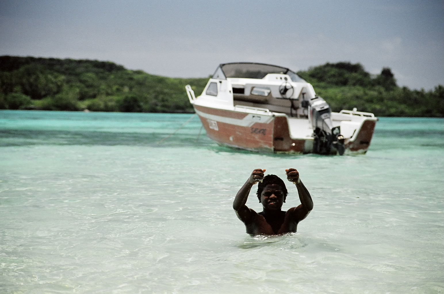
Ouvea is actually made of two islands that were joined by a bridge.
There's Ouvea, which is by far the longest of the two, and Mouli.
The bridge is named "Pont de Mouli", which means Mouli Bridge.
Ouvťa is not very big, but is is shaped all in length. It's about 40km
in length, but some parts of the width of the island do not exceed 40m.
The largest width is probably below 5 km. So we rented a car to visit
this island. The other option was bikes, but we had a lot of rain the
first day.
Apart from the kms of sandy beaches on the west coast of this island,
the drive across the island was a bit monotonous. There were a few
communities to see a a few points of interest, but nothing significant.
|
|
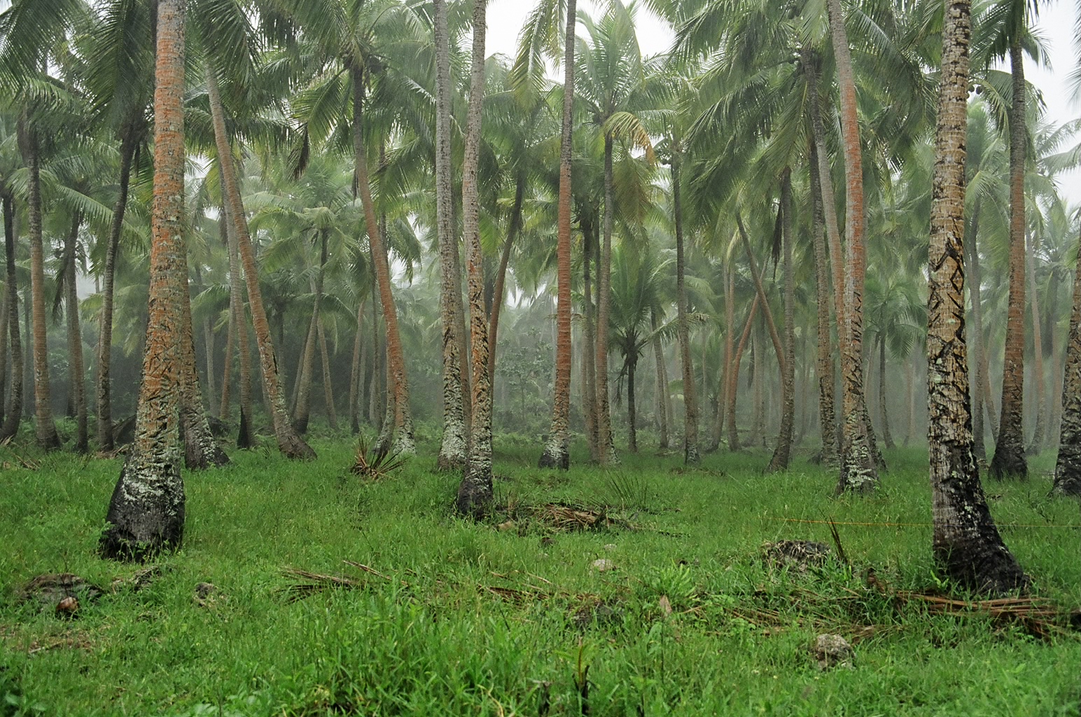
Coconut tree field in the northern tip of Ouvťa.
|
Mouli is the southern peninsula. It stopped being considered an island
after Mouli Bridge was built. It is much smaller to Ouvťa, about 10km
long, and also shaped all in length.
|
|
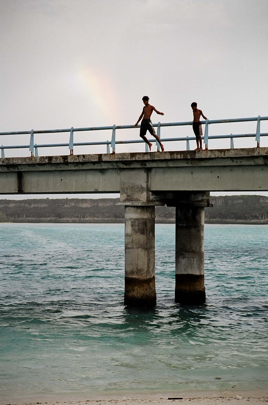
Pont de Mouli (Mouli Bridge).
It's amazing what you can see from this bridge. The bridge is the
boundary of a marine reserve lying on the east side. So if you look
east from the bridge for a few minutes, you are almost guarantied to
spot some eagle rays, or some turtles. If you'r lucky, you can see
a shark once in a while. We also saw a huge flock of mackrels just
below the bridge.
|
|
|
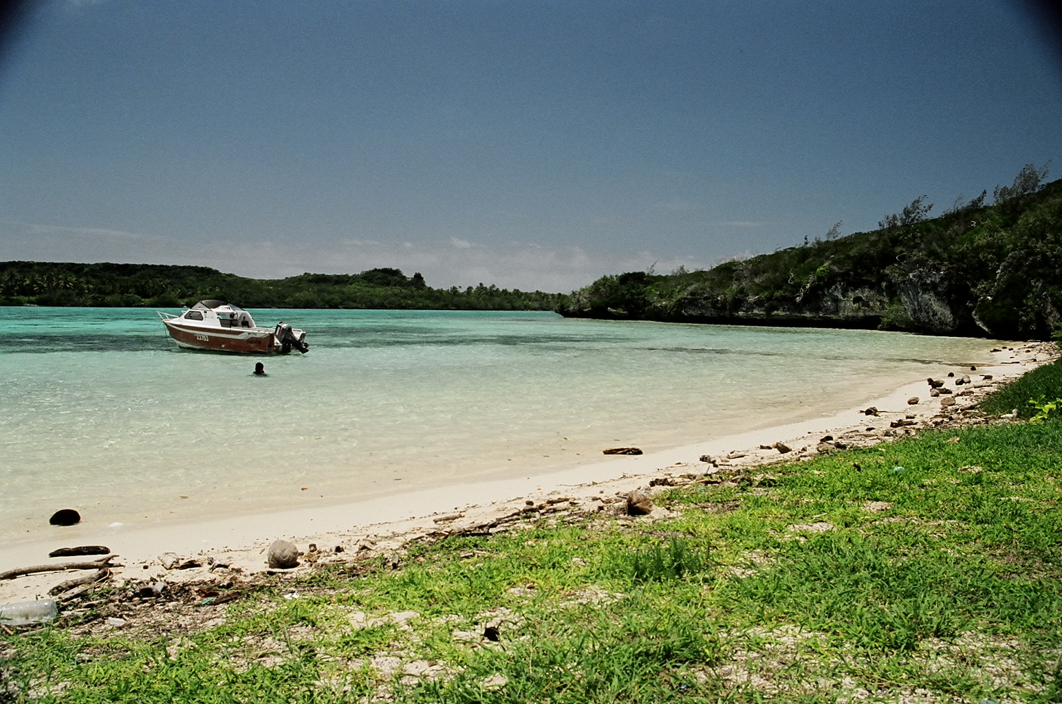
Just west of the bridge, this is the start of the sandy beach of
Mouli, which runs almost all the way to the southern tip of this
peninsula. We're looking north, and facing "La Passe de Lifou"
(Lifou Pass) above which Mouli Bridge has been build. Just beyond
is Ouvťa.
|
|
|
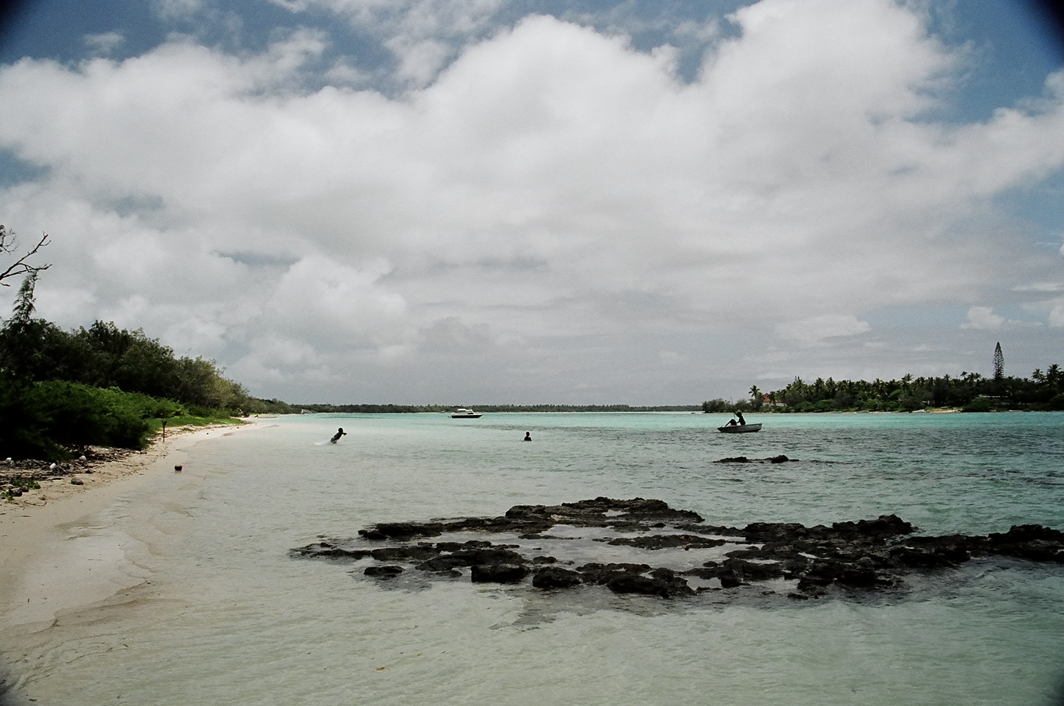
East side of Mouli, just 200 meters south of Pont de Mouli.
Because we are on the east side, this is a marine reserve. It is
permitted to have a dip, as long as you do not go father than a few
meters from the shore. Boats are permited in the reserve, though.
|
|
|
The same beach, now looking south.
|
|
|
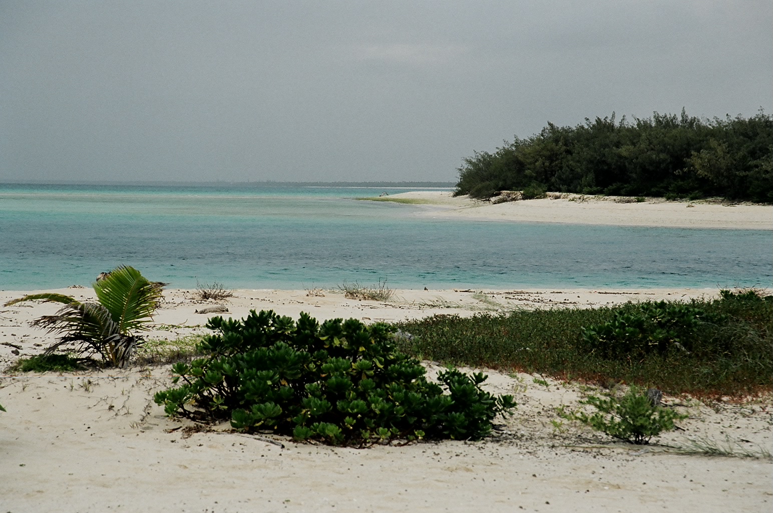
Still from the same beach, now looking east. The island we see is
"Fayawa WasaŁ Island". It's a very small island of about 1/2 km2.
|
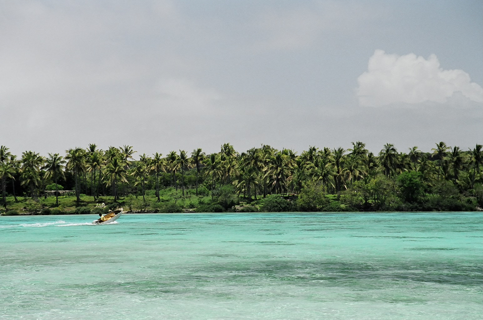
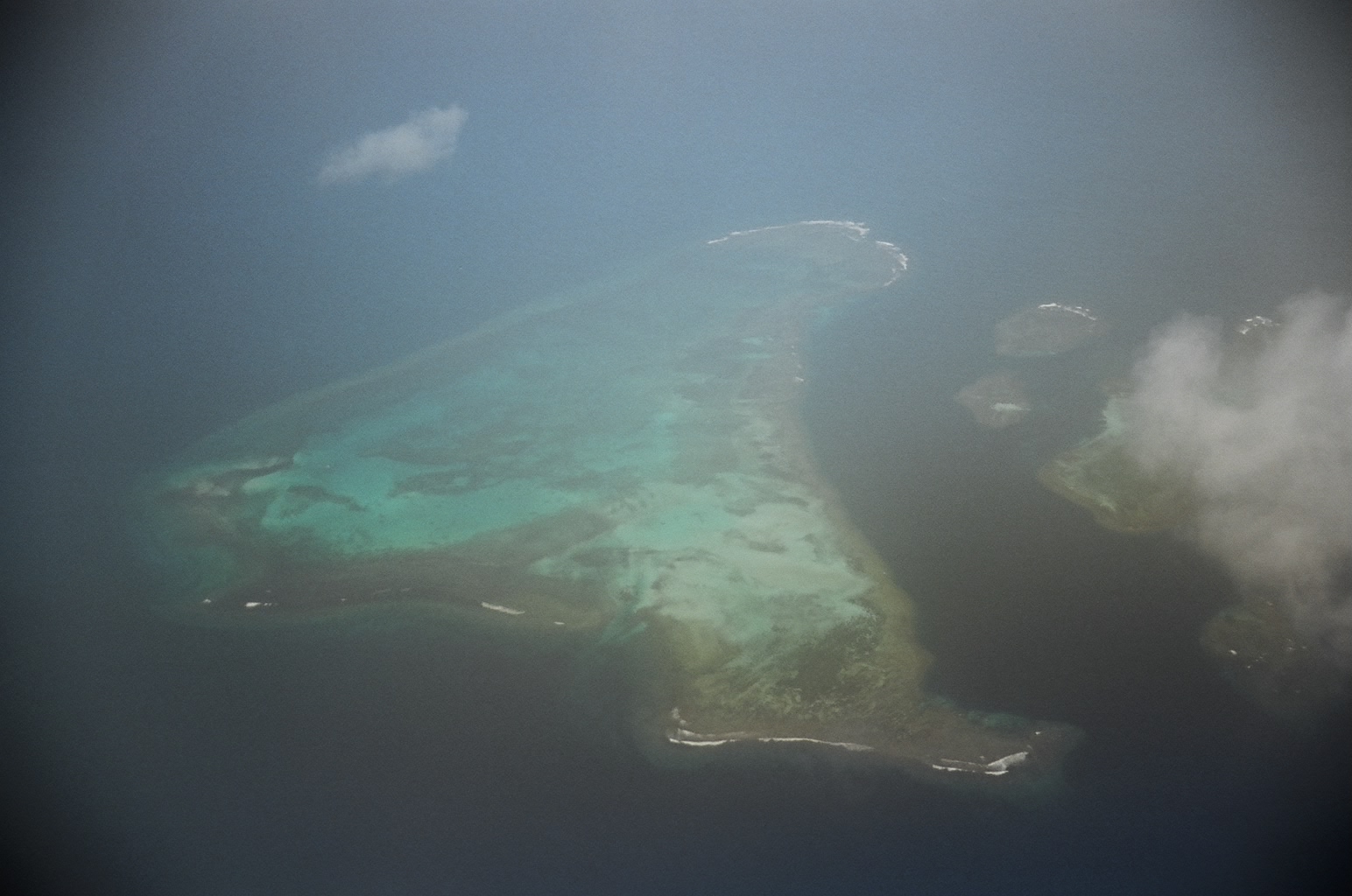
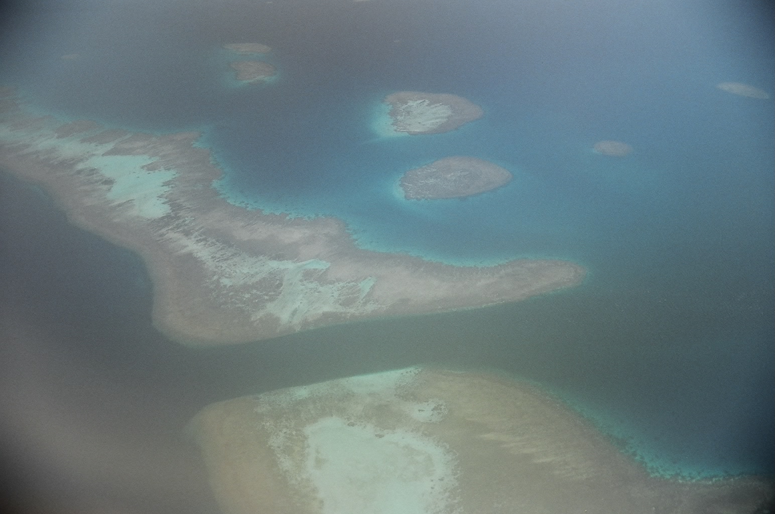
We took the plane between Noumťa and Ouvťa. On the way back, the weather
was good, and we managed to see some nice atolls. The pictures are not
very good unfortunately, but they give an idea of how beautiful the area is.
http://www.brobecker.org/